 HTML
HTML JavaScript
 Tailwind CSS
 Material UI
 Node.js
 Express.js
 Gin
Gin MySQL
MySQL PostgreSQL
 Redis
Redis Supabase
 Prisma
 Google Cloud Platform
 Firebase
 Git
Git Postman
 VS Code
 DBeaver
Solo Full-stack Project
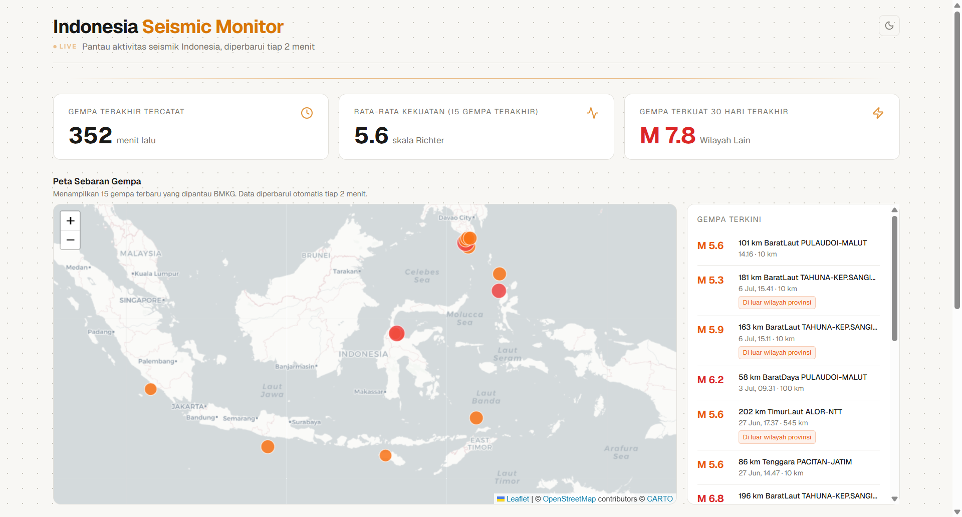
Indonesia Seismic Monitor
A real-time dashboard that combines live BMKG data with 6 months of USGS historical records to monitor seismic activity and calculate a province-level seismicity index.
2
REST API endpoints
38
Provinces mapped
2
Live data sources
2 min
Auto-refresh
- Interactive map with earthquake markers colored by magnitude, with dark/light tile switching
- Data pipeline: fetch BMKG (XML) + USGS (GeoJSON) -> map coordinates to province -> calculate seismicity index -> serve via API
- Dark/light mode with system preference detection
 Go 1.22
 Fiber v2
 Next.js 16
 TypeScript
 Tailwind CSS v4
 TanStack Query
 React Leaflet
 Vercel
 Docker